Flass Vale is the featured asset for May 2022. (see List of Assets of the month.) Flass Vale is a green space in the centre of Durham City with a long history of human activities dating back to prehistory. It is a Local Wildlife Site, common land and Nature Reserve, and designated as a Local Green Space in the City of Durham Neighbourhood Plan. A campaign, in which the Trust was involved, was fought in 1973/74 to prevent the area from being developed for housing. This resulted in the present protected green space that we have to day, managed by the Friends of Flass Vale, set up in 2002.
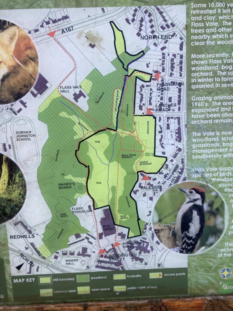
Map of Flass Vale from the information board at the site
The saga started back in 19868/69 when a planning proposal to build houses on Flass Vale was turned down in response to a widespread public outcry against it, comprising petitions, letters to the Durham Advertiser and responses to the planning consultation. The Trust sent in a petition comprising 575 signatures. However, this did not stop the threat of development in Flass Vale. Proposals for development were resubmitted and the then City Council (which only covered the City of Durham and Framwellgate Municipal Borough Council) approved them to huge public outcry, triggering local groups and individuals to set up the ‘Save Flass Vale’ campaign. One of the election pledges of the Labour Party for the election in 1973 of a new City of Durham District Council (embracing the Municipal Borough and Durham Rural District Council and Brandon & Byshottles Urban District Council) was to do a land swap with the developer, i.e. to give him a development site somewhere else. Labour won the election and the new District Council’s first Leader – Cllr Ramshaw – swiftly announced that the deal had been done.
The Council promised that the Vale would remain open land, however further actions were still required to protect it. The Trust submitted evidence to a Commons Commissioner in July 1980 to make Flass Vale common land. Unfortunately, the Council objected and only two thirds of the space was made Common Land. In 1981 the Trust submitted evidence to an Inquiry on the County Council’s Draft Revision of Public Rights of Way for the entrance to the Vale past the former Rose Tree Public House to be made a Public Right of Way, and this was agreed.
See clippings from the Trust Bulletins at the time.
The boundaries of the Vale have experienced more development as recent proposals have been approved, e.g. the Bus Depot and the southwest portion of the Vale have been developed as private housing and student accommodation.
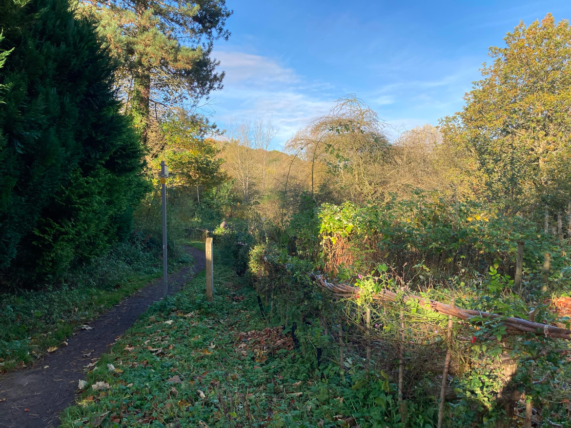
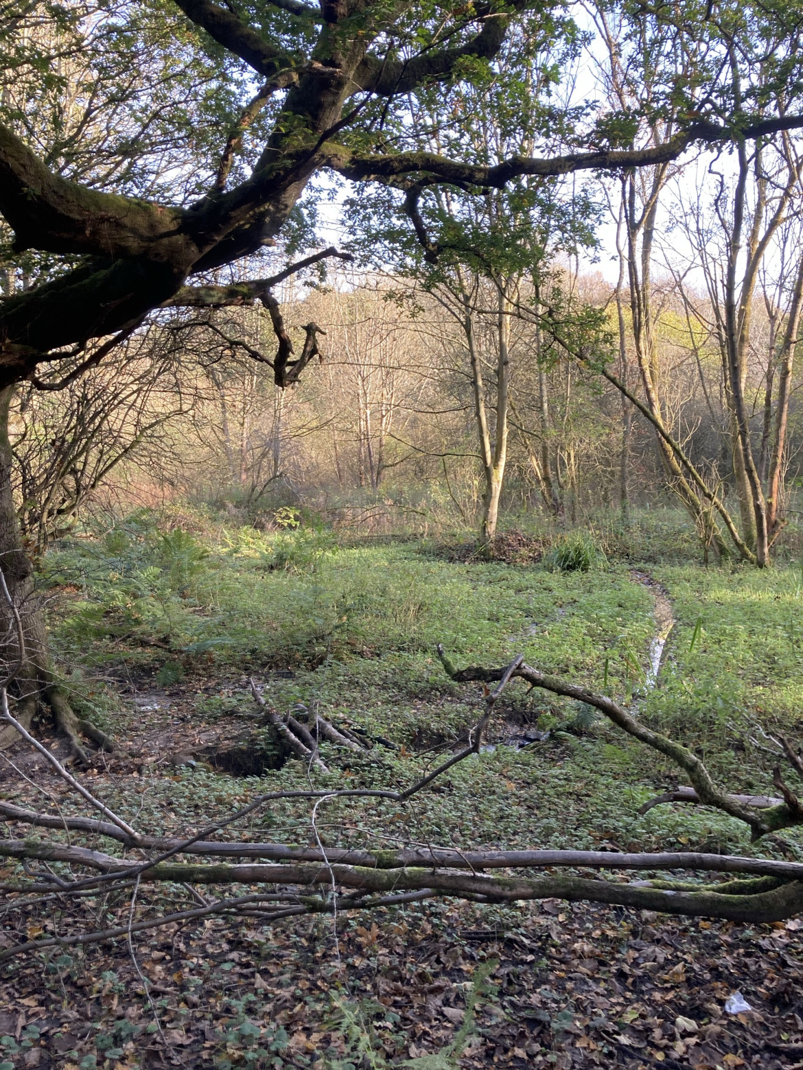
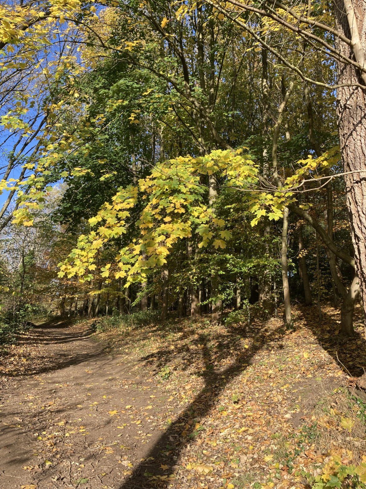
East sideCentreWaddington Street entranceViews of Flass Vale, looking north
The broad shape of Flass Vale was laid down 10,000 years ago when the ice cap retreated, leaving sand, clay and gravel behind as water flooded towards the valley of what is now the River Wear. These deposits formed the hills surrounding Flass Vale. The hill which formed Redhills and the A167 blocked meltwater from flowing through Flass Vale and diverted it into what is now the Browney Valley.
During the Bronze Age the landscape was probably swamp and wet woodland. Pollen analysis from Bearpark Bog suggests that people started to clear woodland in this area around 3,000 years ago. Settlements probably consisted of small farms: the first evidence of human settlement in Flass Vale dates from this period. Maiden’s Bower (a Scheduled Monument) is a Bronze Age burial mound (round cairn).
There is no evidence of human habitation in the Vale until the Medieval period. In this period Flass Vale was incorporated into Crossgate Moor and Framwellgate Moor parishes and most of the Vale was probably rough grazing land, with marshy ground in the valley bottom (‘Flass’ is a Scandinavian word meaning marsh). The valley is drained by the Flass Burn (originally known as the Mill Burn) which drove a corn mill before entering the River Wear. Flass Vale was probably used as a drove route for access to and from the West (Crossgate Moor and beyond) to the Market Place, with the Vale probably being used as a holding area for animals before they were sold at the market, and as winter grazing. A non-designated footpath, thought to be part of the route taken by monks between Durham Cathedral and Beurepaire in medieval times, leads to the A167 from the top of the Vale. Before the Battle of Neville’s Cross (1346) monks from Durham Cathderal carried the corporax of St Cuthbert as a banner during a vigil on Maiden’s Bower.
The Inclosure maps of Crossgate (west) and Framwellgate (east) dating from 1770 and 1802 show many different owners/tenants. The 1838 tithe maps for Crossgate and Framwellgate record most fields as pasture, the north east fields as arable, several gardens, two plantations and patches of woodland (presumably not planted). A small building (Flass Cottage) is marked at the end of a path leading through Flass Bog. One of the fields listed on the 1838 tithe map as Gilbert Knowles, (presumably a misprint for Gibbet Knowle), is said to be the site of a gibbet where hanged bodies from Gallows Field (now St Leonards School) were left to decompose in medieval times.
By the time of the first Ordnance Survey (1858), a public pleasure garden (Shaw Wood) and an extensive orchard had been developed at the south end of the Vale, but by the end of the century (1898 OS map) both had declined. Buildings now known as Flass Vale Hall (Moor Edge Farm), Flass House and the King’s Lodge Inn (Rose Tree Public House) are marked on these maps along with Flass Cottage. The bottom of the valley is marked as Flass Bog. A curling pond was constructed at the north of the Vale by damming Flass Burn (formerly Mill Burn) and used until the 1920’s. Later maps show substantial buildings on the corner of ‘Rose Tree Lane’ and back Western Hill.
Profound changes to the Vale were made in the 20th century with the extraction of sand in several quarries on both sides of the Vale. There was a sewage works at the top of the Vale, which was abandoned and later used as an allotment: in 2009 it was planted as a wild flower glade. A large house – the Larches – was built at the end of a path leading from Fieldhouse Lane and Fieldhouse Terrace. Between the wars the Bus Garage (Omnibus Depot) was built next to the Rose Tree Public House. After the second world war much of the land on the edge of the Vale was developed for housing. But the greatest change was the loss of an agricultural role and the sale of land for housing, resulting in the ‘Save Flass Vale’ campaign of 1973. Durham City Council purchased land to the east of Flass Burn which was designated as a Local Nature Reserve in 2007. The whole of the Vale was designated as a Local Wildlife Site in 1990.
Other resources
Gibby photographic prints collection at Durham University: Flass Vale looking South East showing Presbyterian church Waddington Street and the new Redhills c.1925
The Royal Geographical Society, Discovering Britain, ‘Durham Flass Vale Walk‘, A circular walk from Durham city centre tracing the course of the ‘lost’ river Browney.